With a surface area of 68,800 sq. km, Lake Victoria is Africa’s largest lake. In addition, it’s the largest tropical lake in the world, and the planet’s second largest freshwater lake.
An irregular quadrilateral in shape, its shores, save on the west, are deeply indented. Its greatest length from north to south is 337 km, its greatest breadth 240 km. Its coastline exceeds 3,220 km.
Its waters fill a shallow depression in the centre of the great plateau that stretches between the Western and Eastern Rift Valleys. The lake’s surface is 1,134 metres above sea level, and its greatest ascertained depth is 82 metres.
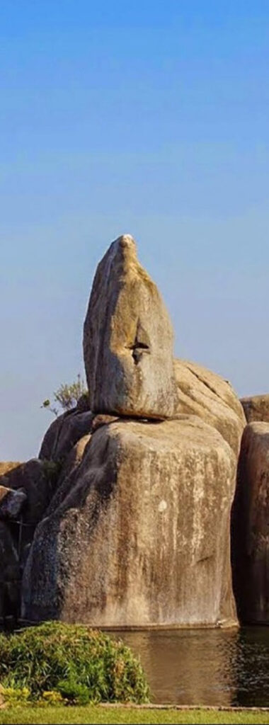
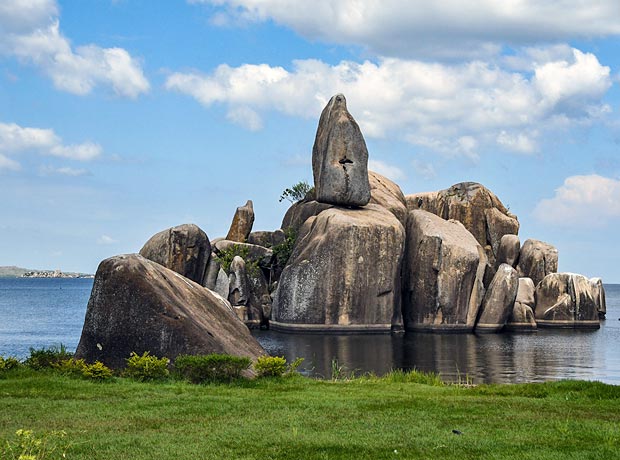
Many archipelagos are contained within the lake, as are numerous reefs, often just below the surface of the clear waters. Lake Victoria has more than 200 species of fish, of which the Tilapia is the most economically important. The lake’s basin area covers 238,900 square km.
The lake’s shores vary in aspect. The lake’s southwestern coast is backed by precipices 90 metres high, which give way on the western coast to papyrus and ambatch swamps marking the delta of the Kagera River. The lakes deeply indented northern coast is flat and bare. A narrow channel leads into the Kavirondo Gulf, which has an average width of 25 km and extends for 64 km eastward to Kisumu in Kenya. The Ugandan cities of Kampala and Entebbe lie along or near the northern coast.
At the lake’s south-eastern corner is Speke Gulf, and at the southwestern corner Emin Pasha Gulf.
Of the many islands in the lake, Ukerewe, north of Speke Gulf, is the largest, with wooded hills rising 200 metres above the lake. It is densely populated. At the lake’s north-western corner are the 62 islands of the Sese archipelago, some of them of striking beauty.
The Kagera River, the largest and most important of the lake affluents, enters the western side of Lake Victoria just north of latitude 1° S. The only other river of note entering from the west is the Katonga, north of Kagera. The lake’s only outlet is the Victoria Nile, which exits from the northern coast.
The search by Europeans for the source of the Nile led to the sighting of the lake by the British explorer John Hanning Speke in 1858. Formerly known to the Arabs as Ukerewe, the lake was named by Speke in honour of Queen Victoria of England. A detailed survey of the lake was made by Sir William Garstin in 1901. Plans for gradually raising the level of the lake’s waters were completed in 1954 with the construction of the Owen Falls Dam (now the Nalubaale Dam) on the Victoria Nile at Jinja in Uganda. The dam supplies hydroelectric power on a large scale and made the lake a vast reservoir. A second dam, Kiira, was later constructed 1 km from Nalubaale.
The Lake Victoria region is one of the most densely populated in Africa; within 80 km of its shores live several million people, nearly all Bantu-speaking. There are local steamer services around the lake.